Crossing the border between Chile and Argentina will likely be a frequent occurrence for travelers-by-bike in Patagonia. Here’s what you need to know to navigate the crossing like a pro.
The Border
At ~5,300 km, the Chile-Argentina border is the third longest national border on earth (behind USA-Canada and Russia-Kazakhstan). The border divides continental Patagonia along the Andes mountain range and splits the island of Tierra del Fuego.
Divided Lakes
Officially, the Chile-Argentina border is governed by the Boundary Treaty of 1881. This treaty divides the continent along the line of “highest summits” and Tierra del Fuego along the 68°W meridian. The treaty’s ambiguous “highest summits” language left both nations claiming sovereignty over the massive lakes which spanned the imaginary line. In 1902, the two countries agreed to a British arbitration that would interpret the 1881 treaty and define the Patagonia border between latitudes 40°S and 52° S (~between Bariloche and El Calafate). The arbitration, known as The Cordillera of the Andes Boundary Case, drew the existing borderline and divided some of Patagonia’s largest lakes between the two countries. The lakes split by the Chile-Argentina border (with Chilean names listed first) are:
- Lago Palena (Lago General Vintter)
- Lago Cochrane (Lago Pueyrredón)
- Lago General Carrera (Lago Buenos Aires)
Additionally, although most of Lago Viedma lies in Argentine territory, the west shore of the lake forms a part of the Southern Patagonian Ice Field in an area where the border remains undefined.
Undefined Zone (Southern Patagonian Ice Field)
A ~50 km stretch of Chile-Argentina border (within the Southern Patagonian Ice Field) remains undefined. The area is abundant with fresh water.
Crossing the Border
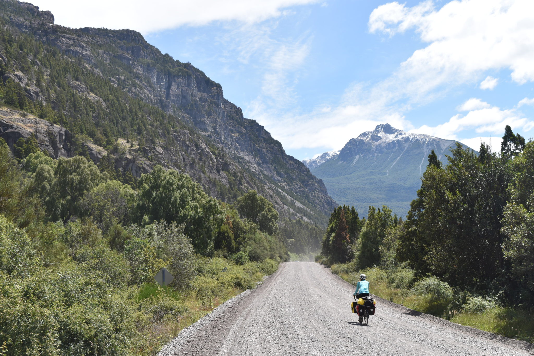
Explorers of Patagonia will typically cross the border dividing Argentina and Chile at least once. The Bicycle Patagonia Tour crosses the border four times.
Crossing between Chile and Argentina requires clearing customs checkpoints in BOTH Chile and Argentina. (Oftentimes, there is a considerable distance between these checkpoints.) You will not be granted entry into your destination country without first declaring your exit with the country you are leaving. Some border crossings have an area of “no man’s land” which separate the border crossing stations of each country. If you forget your exit stamp, you will be required to backtrack through no man’s land to get it. Don’t forget your exit stamp!
For example, the crossing between Chile and Argentina around El Chaltén (Argentina) and Villa O’Higgins (Chile) features an epic trail crossing. The two checkpoints are 20+ kilometers away from one another. Get that exit stamp! For more information on the crossing between El Chaltén and Villa O’Higgins, see our bike route page detailing the journey.
Forms
When entering Chile you will be required to fill out a form declaring that you are not bringing any plant or animal products into the country. Failing to declare a plant/animal product is a crime! Chilean customs agents frequently search bags (and panniers), so plan ahead and finish your contraband before crossing.
Forbidden Food Items
- Meat
- Dairy
- Eggs
- Fruit
- Vegetables
- Seeds
- Nuts
- Honey
Note that custom officers have been everywhere between liberal and strict with these forbidden items. Don’t risk it! If you’re wondering if something you are carrying will be confiscated, it probably will. Eat/drink/smoke it before you cross. In our experience, we were only searched and questioned regarding contraband when entering Chile and not when entering Argentina. However, we have heard of the same happening to travellers when entering Argentina.
If traveling by automobile, you will likely need to supply a “Declaracion Jurada” (translates to “sworn statement” in English) at any border crossing. Basically, this statement declares that you promise to return the automobile to the country where you acquired it. You should not need one for your bicycles.
Border crossing agents are typically friendly. If possible, converse in Spanish – it will be appreciated.
Click here for a copy of the Chilean customs declaration form.
Border Crossings in Patagonia
Futaleufú*
Travelers crossing into Chile are greeted by a fresh, paved road. Rejoice! Note, there is an informal camp/picnic area on the Argentina side of this border, providing a perfect opportunity to finish your honey and other forbidden goods before entering Chile.
Chile Chico/Los Antiguos
The border crossing over Río Jeinimeni is a popular vehicle crossing (most cyclists will continue south in Chile through the Villa O’Higgins). It’s open from 8:00am to 8:00pm.
Lago O’Higgins (Puerto Calendario)*
Hands down, the most epic Chile–Argentina border crossing. The trip between Villa O’Higgins and El Chaltén features a spectacular off-road route through rugged Patagonian wilderness, two ferry rides, and a section of single-track (parts of which are not bikeable). For the full guide, visit the Villa O’Higgins to El Chaltén guide page.
Cerro Castillo (Paso Don Guillermo)*
There is a substantial distance between the two checkpoints. Arriving in Cerro Castillo, be careful not to zoom by the stopping post. Here, you will be asked to dismount, check in, and process your panniers through a scanner inside.
San Sebastian* (Tierra del Fuego)
The checkpoints are ~15km away from one another. If necessary, ask the Argentina checkpoint officials about the possibility of an informal accommodation near San Sebastian.
Paso Rio Bellavista** (Tierra del Fuego)
This checkpoint is along the alternate route through Tierra del Fuego toward Ushuaia and is only open during the summer months. Since it is the less popular of the two borders on Tierra del Fuego, you can expect the crossing to be queue free!
Ushuaia/Puerto Williams**
Your border crossing will be arranged in conjunction with your boat journey across the Beagle Channel. Just follow the instructions of your boat crew, as they will tell you exactly where to go once you dock. If leaving Puerto Williams, documents will need to be checked and processed in town at the government building before making the journey from town to the docks (about an hour drive).
*On Bicycle Patagonia Tour
**On Bicycle Patagonia Tour alternate route
A Brief History of the Chile-Argentina Border
South America’s first European invaders, the Spanish, weren’t much concerned with Patagonia – they preferred the gold-rich area to the north. Although a few forts and missions were erected along the coasts, by-and-large the Spanish were prevented from colonizing Patagonia by the Mapuche (indigenous inhabitants of central-Chile) and the harsh Patagonian climate.
In 1816 and 1818, Chile and Argentina (respectively) declared independence from the Spanish empire. With Spanish royalist forces defeated and the Spanish empire ousted from the continent, both nations turned their gazes south toward Patagonia. Each countries assertion of sovereignty to the continent overlapped and both claimed sole ownership of Tierra del Fuego.
In the 1840s, Chile’s military established Fuerte Bulnes (a fort), then Punta Arenas, on the Strait of Magellan. Strategically important (especially prior to the opening of the Panama Canal in 1914), the Strait of Magellan served as the main thruway for ships sailing between the Pacific and Atlantic Oceans. By the 1860s, both nations were pushing south and annexing large tracts of land through military campaigns. Chile‘s Occupation of Araucanía (1861-1883) and Argentina‘s Conquest of the Desert (1870s-1884) succeeded in crushing Mapuche and Tehuelche resistance. In the late 19th-century, a short-lived gold rush and a massive boom in sheep-farming brought a wave of immigration to Tierra del Fuego. The indigenous inhabitants of the island, the Selk’nam and Hausch, were wiped out by disease and a vicious bounty-system, whereby European settlers were paid for each indigenous person proven killed. Still, both Argentina and Chile claimed exclusive sovereignty over Tierra del Fuego.
Following the brutal conquest of Patagonia’s indigenous people, the two nations entered into the Boundary Treaty of 1881 which officially divided Patagonia. According to the treaty, (a) the border on the South American continent follows the line of “highest summits” (within the Andes mountain range), (b) Tierra del Fuego is divided along the meridian 68° west of Greenwich and (c) the Strait of Magellan remains neutral.
In 1902, Chile and Argentina agreed to settle conflicting claims over the border in Patagonia, between 40°S and 52° S (roughly between Bariloche and El Calafate), via British arbitration. The arbitration, known as The Cordillera of the Andes Boundary Case, interpreted the 1881 boundary treaty – drawing the current borderline and dividing some of Patagonia’s largest lakes.
In 1978, Argentina and Chile came to the brink of war over the possession of the Picton, Lennox and Nueva islands (south of Isla Grande de Tierra del Fuego), in what is known as the Beagle Conflict. Although these islands had been controlled by Chile since 1881, Argentina had disputed Chile’s claim of sovereignty. In 1984, after mediation by Pope John Paul II and Argentina’s defeat in the Falklands War, the two nations entered the Treaty of Peace and Friendship of 1984, recognizing Chile’s exclusive sovereignty over the islands but permitting Argentina certain maritime rights within the surrounding waters.